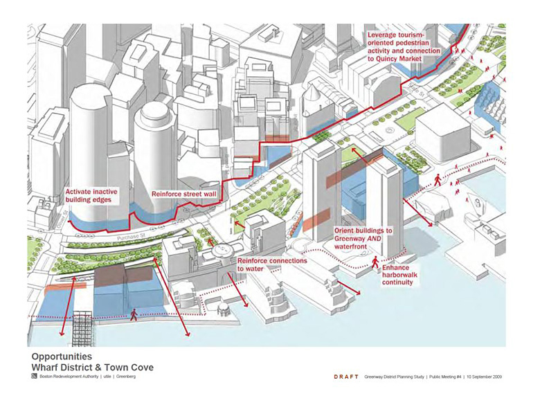
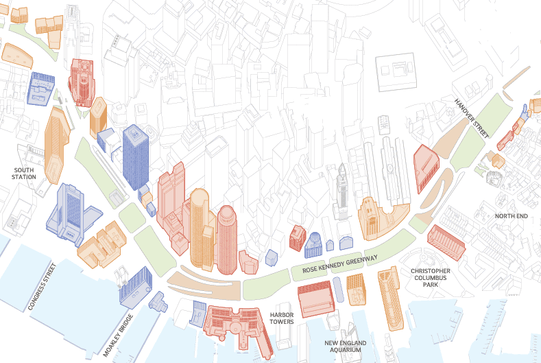
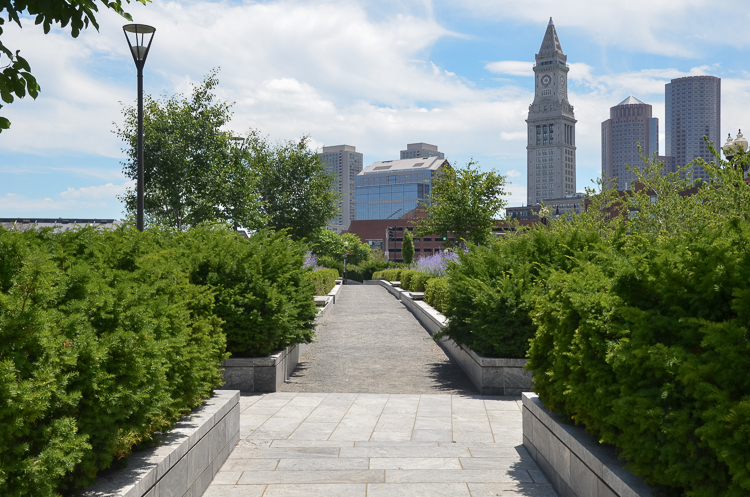
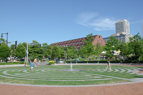
On a recent trip to Boston – a city I once called home – I visited a series of linear parks collectively known as the Rose Fitzgerald Kennedy Greenway. Left by the razing of a former raised highway, the public spaces thread through the downtown core, re-stitching together neighbourhoods and providing visual and pedestrian connections that had been severed over half a century ago.

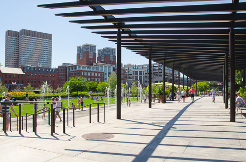
Each segment within the Greenway has its own spatial vocabulary and character. Primary emphasis was placed on the public realm; the spaces are complete with promenades, plazas, landscaped gardens, recreational fields, sculptures, information pavilions, splash fountains and a carousel.
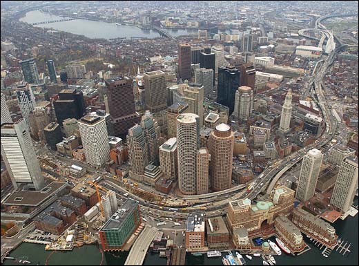
The Greenway is the most visible result of the 16-year project dubbed the Big Dig, one of the most ambitious feats of construction and urban design ever undertaken in a US city. For 50 years, the I-93, a rusting elevated six-lane roadway, slashed through downtown Boston. It separated the waterfront from the rest of the city and isolated the North End, running right through the middle of the business district on a great sweeping curved viaduct. (From my seat on the Green Line train, I could look directly into people's office windows.)
The colossal endeavour saw the dismantling of a stretch of the I-93 and its rerouting within a 3.5mile tunnel buried beneath the city. The project faced every sort of challenge, from political and financial difficulties to environmental and engineering obstacles. But no one is looking back. With the massive barrier removed, the resultant green space, though flanked on both sides by a ground- level roadway, reunites neighbourhoods and acts as a crossroads for people travelling between them.
For Torontonians, the Greenway illustrates the social and environmental benefits of the open space network and serves as an interesting example of what this city might do were it to take down the Gardiner Expressway (shown below). Toronto: Look and Learn!
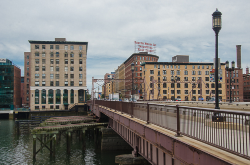
On the other side of Boston's Fort Point Channel, I checked out the Seaport District, a hotbed of construction and urban infill. The area has gone big with hotels, office buildings, and restaurants. Adjacent to it is the revitalized neighbourhood of Fort Point. New eateries have set up shop here but, you can still find artists’ studios and design firms holed up in its brick warehouses...
